The ten towns, on the map
Where this shelf lives: the same ten towns as the daylight visualizer in Sky & ice below, plotted from the coordinates it computes from — from Kirkenes on the Russian border to Fairbanks and Yellowknife across the pole.
The map could not load just now. The ten towns: Kirkenes · Svolvær (Lofoten) · Tromsø · Reykjavík · Rovaniemi · Jokkmokk · Nuuk · Fairbanks · Iqaluit · Yellowknife.
Map: Leaflet with OpenStreetMap tiles (© OpenStreetMap contributors) — the same map pattern as the far-north deadlines page. Town coordinates are the daylight visualizer's own.
Slow text
Books, poems, essays, and journals from the far north. A few pages at a time; company, not news.
The sound
Public radio and recorded sound from the north — voices, harbors, wind, and ice.
Sky & ice
The north as numbers and pictures: today's light, the aurora, and the sea ice. No journalism, just the gauges.
Today's daylight, town by town
Sunrise and sunset for ten northern towns, computed from coordinates. Times are each town's local time.
Working out today's light…
The aurora, next 30 minutes
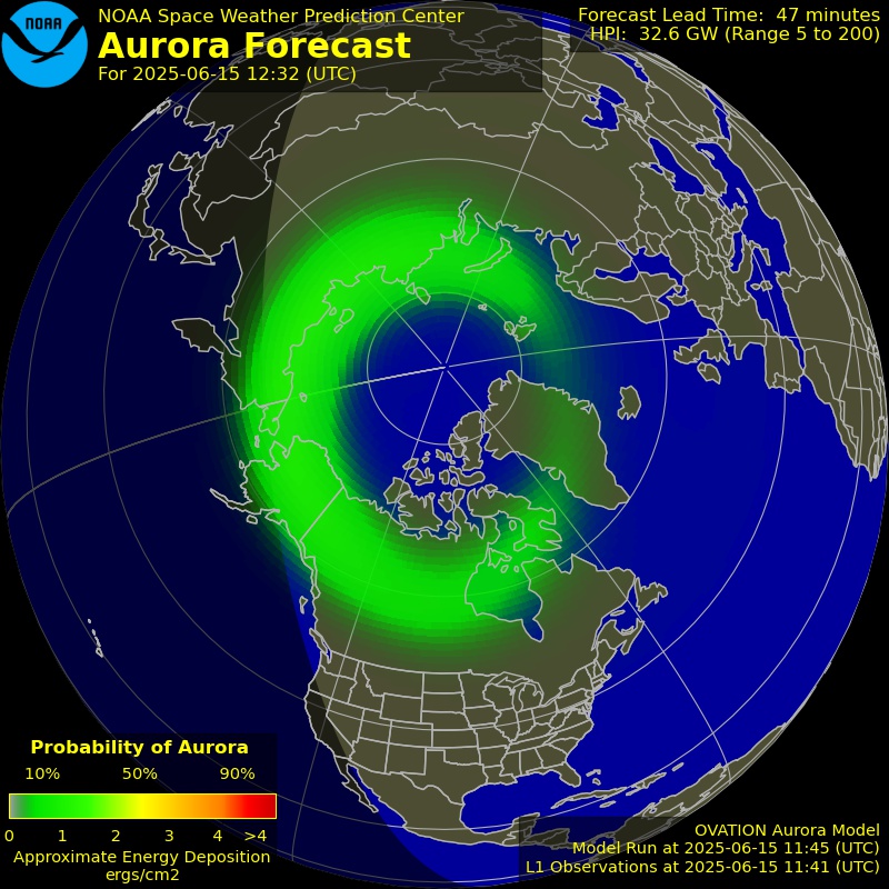
NOAA / NWS Space Weather Prediction Center
Arctic sea ice today
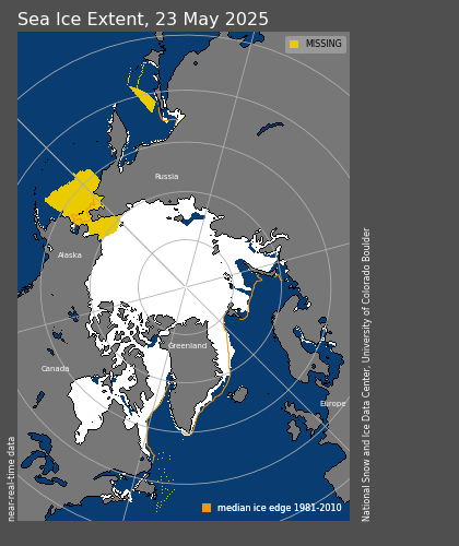
National Snow and Ice Data Center